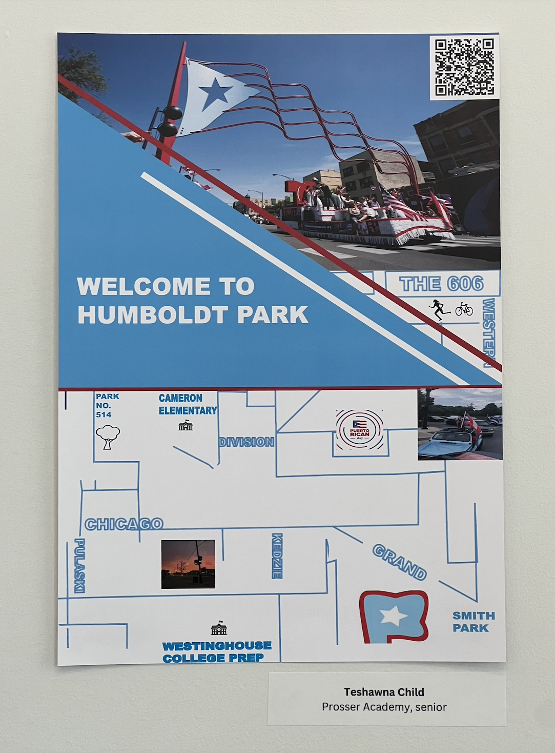
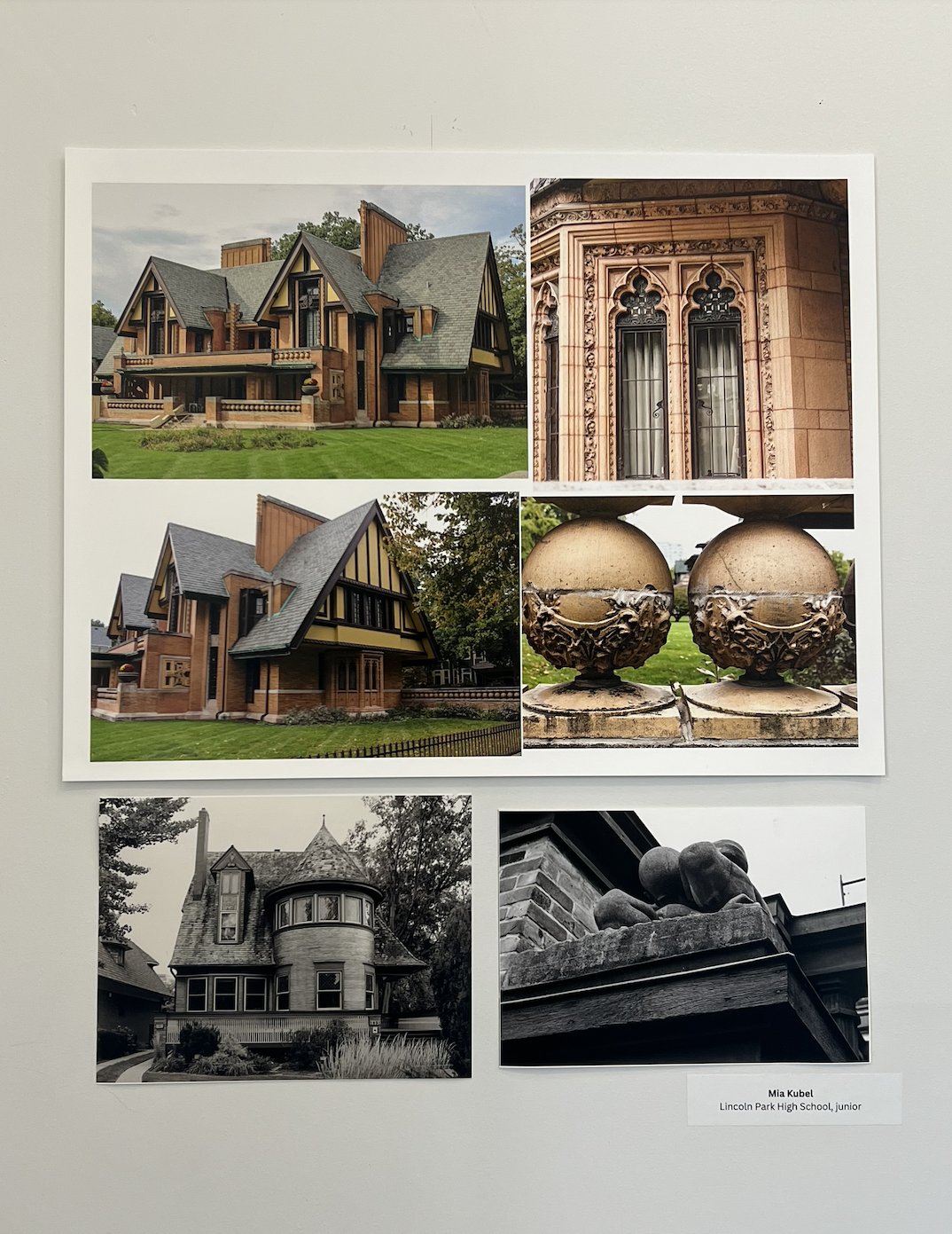
The “Art, Activism, Policy, Power: Folded Map” exhibition at the Columbia College Chicago Community Engagement Hub, located inside of the Museum of Contemporary Photography, prompts viewers to consider what they may assume but don’t know about Chicago’s neighborhoods. The exhibit showcases a collection of photographs, maps, field recordings and videos taken by high school students from local schools such as Kenwood Academy, Lincoln Park High School and Prosser Academy. The exhibit was created as part of “Art, Activism, Policy, Power,” a Museum of Contemporary Photography program in collaboration with the high school students, and headed by social justice artist Tonika Lewis Johnson.
“Art, Activism, Policy, Power: Folded Map” was curated by Kyli Hawks, a sophomore photography major at Columbia and the MoCP’s curatorial and educational assistant, and overseen by Kristin Taylor, the MoCP’s curator of academic programs and collections.
Johnson’s work in social justice is what inspired the “Folded Map” project. The process of creating the work involved finding “map twins,” matching residents of opposite parts of the city by folding a map of Chicago, then having them meet as she photographs their interaction. The project brought together people who were unlikely to meet due to Chicago’s history of geographical segregation. Her work is a response to the common phrase, “Don’t go to that neighborhood; it’s dangerous.” Johnson grew up hearing that about her own neighborhood, Englewood.
“It’s important, I think, because we’ve been literally programmed to be afraid of talking to one another,” Taylor said.
Taylor said the students used photography “as a tool to amplify their voice and to be activists themselves,” as they explored and documented their neighborhoods, using maps, audio and video formats to do so.
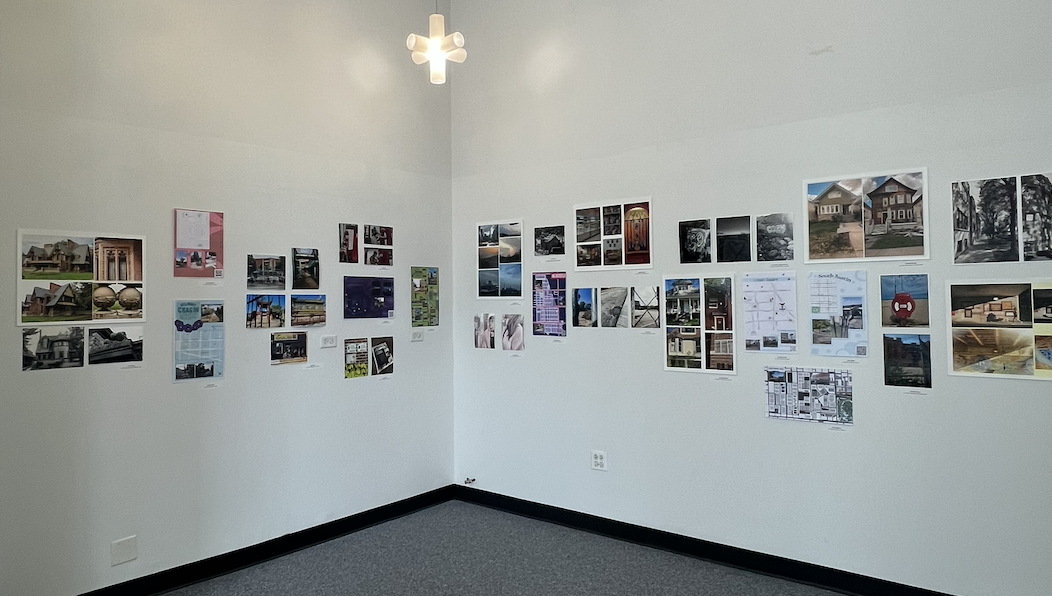
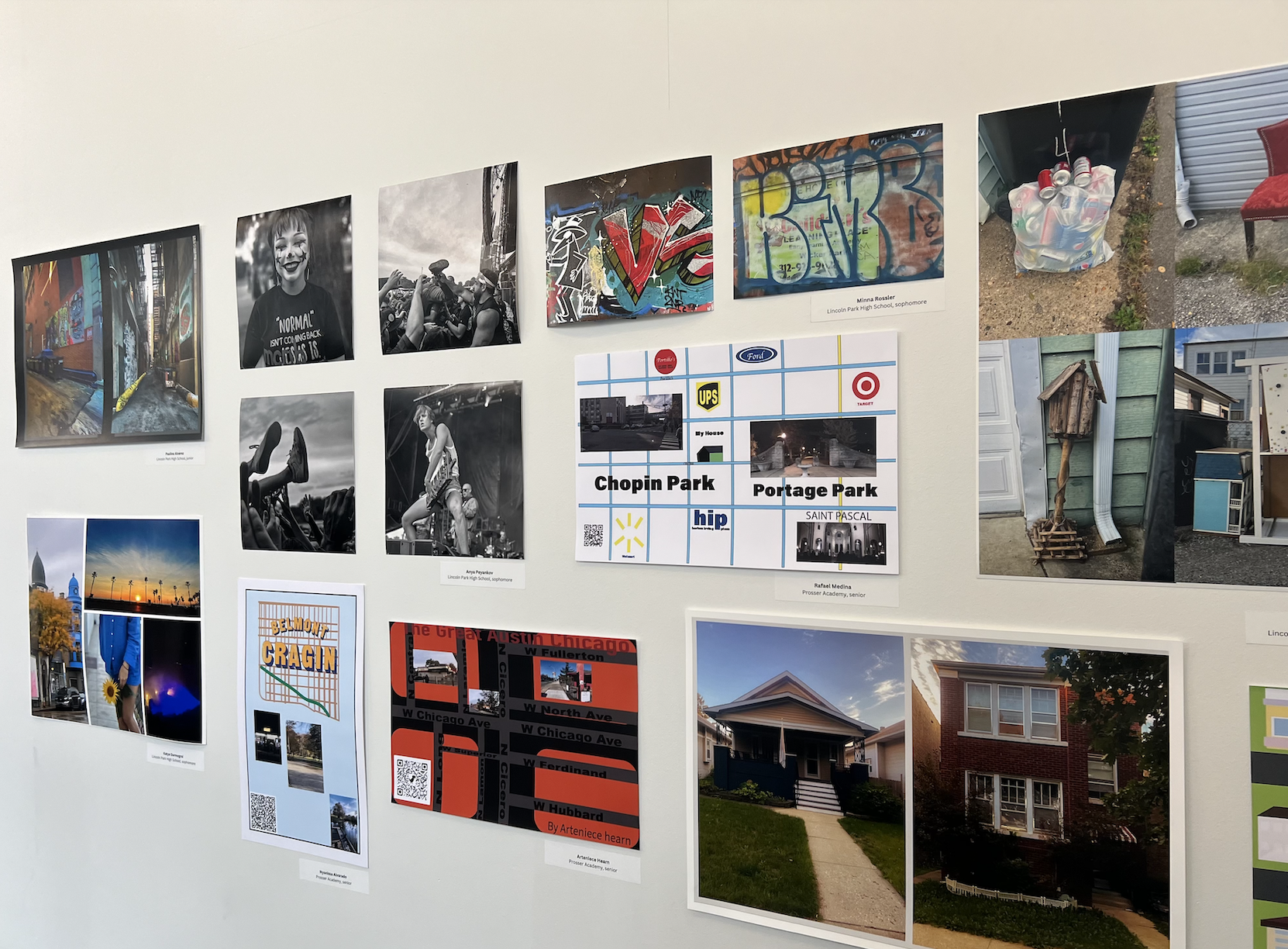
As visitors walk around the exhibition and take in the photos, they get a sense of what exploring the various neighborhoods depicted may be like, especially with the addition of QR codes that link to field recordings of the areas. Some of the photos are vivid and rich in color, giving the illusion of seeing the buildings or streets first-hand. Others are shot in black and white with high contrast, further emphasizing the details of the architecture or people’s faces, making the subjects feel up close and personal.
The maps and photographs are printed on thick paper, unframed and taped to walls along the space, which adds to their approachability.
Video clips were displayed on computer monitors placed around the gallery space, allowing visitors to hear student voices as the camera pans to different parts of each neighborhood, almost as if the viewer is getting a one-on-one tour of the neighborhood. Like the rest of the pieces in the exhibit, there is a level of closeness embodied in these videos. They create a sense of “I want to be where they are, and I want to feel what they feel” in visitors. Being able to dive deep into viewing and interacting with the pieces is a great privilege.
“There’s no formula for how to do this kind of work, but what you bring to it individually, and your background, and your perspective, is what makes something really powerful,” Taylor said.
The exhibition closed on Feb. 18, but is still available to view online.
More information on Tonika Lewis Johnson’s Folded Map project can be found online as well.



Be First to Comment